Services
Geospatial analysis that answers real planning questions.
Whether you need a one-off baseline, a long-term monitoring system or a team that can do it themselves, we scope each engagement around the decision it has to support.
01
Environmental Monitoring
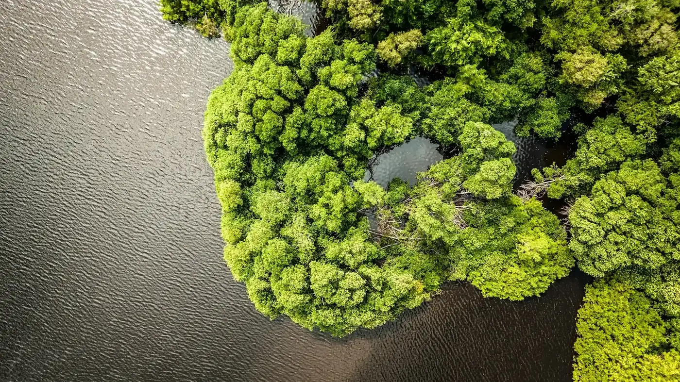
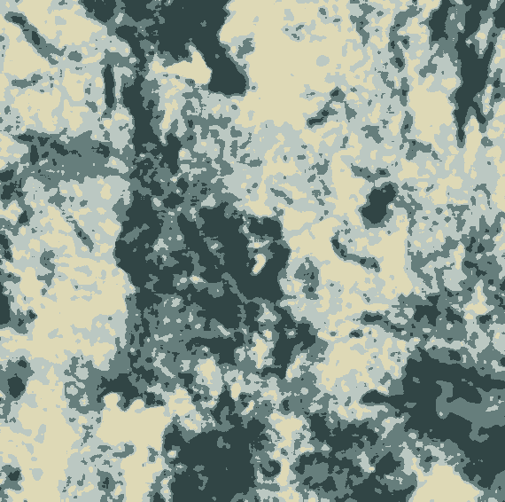
We measure how landscapes change — vegetation condition, forest and mangrove cover, wetlands, water bodies, burnt areas and degraded land — using multi-year satellite time series checked against field and reference data. You get a defensible baseline and a repeatable way to track progress.
Questions we answer
- How much forest or mangrove has been lost or restored, and where?
- Are conservation or restoration areas actually improving?
- Where are burning, erosion or encroachment hotspots emerging?
Typical deliverables
- Land-cover and change maps with accuracy assessment
- Baseline and monitoring reports
- GIS-ready data layers (GeoTIFF, Shapefile, GeoPackage)
02
Climate Analytics
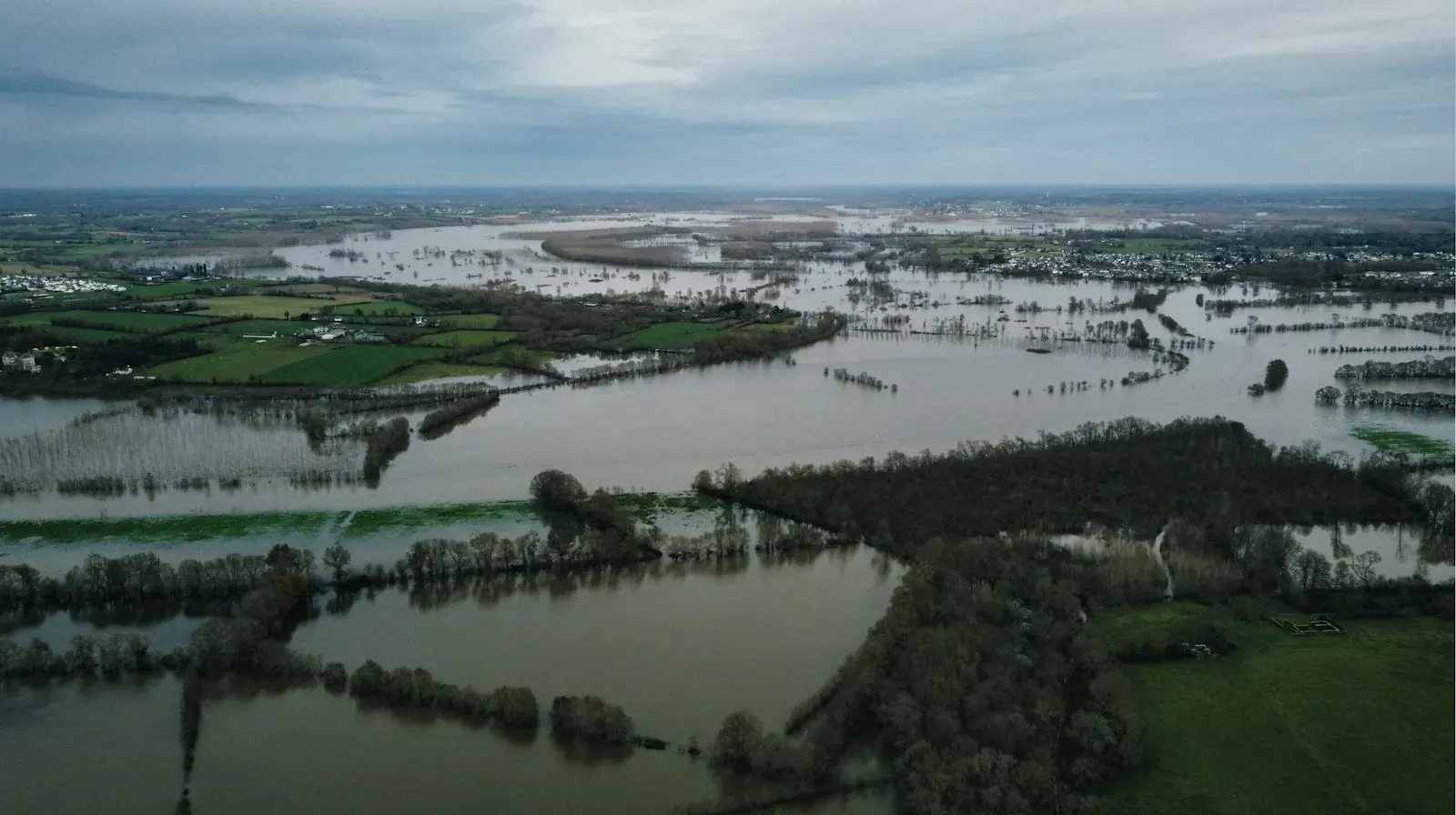
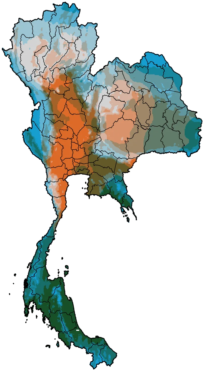
We combine long-term climate records, reanalysis data such as ERA5 and TerraClimate, and climate projections with maps of people, crops and assets — showing where climate risk is highest and how it may change. The result is risk information specific enough to plan, prioritise and budget against.
Questions we answer
- Which areas face the greatest flood, drought or heat exposure?
- How have rainfall and temperature shifted — and how might they by 2050?
- How much water are crops using, and where is stress emerging?
Typical deliverables
- Hazard, exposure and climate-pattern maps
- Evapotranspiration and water-balance products
- Inputs for adaptation plans and climate-risk disclosure
03
Urban & Land Use Planning
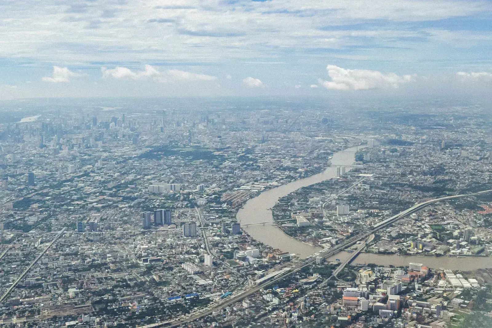
We help planners see how land is used today, how it is changing, and what different growth paths would mean. Our spatial models support zoning, site selection and green-infrastructure decisions with evidence stakeholders can inspect.
Questions we answer
- Where is the city expanding, and onto what kind of land?
- Which sites are most suitable for a new facility or green space?
- How would alternative zoning scenarios affect flood risk and farmland?
Typical deliverables
- Land-use / land-cover change analysis
- Suitability and scenario models
- Planning-ready maps and briefing notes

04
RS/GIS Capacity Building
Practical, hands-on training built around your own data and real tasks — not generic software tours. Courses are delivered in Thai or English, on-site or online, and can be followed by mentoring so new skills turn into routine work.
Course topics
- GIS fundamentals with QGIS
- Remote sensing and image classification
- Google Earth Engine for monitoring
- Python and R for geospatial analysis and mapping
Formats
- 1–5 day workshops
- Multi-week programmes with project work
- Ongoing technical mentoring

05
Custom Data Platforms
When the same indicators are needed every week, month or season, we automate them. We build cloud processing pipelines, web maps and dashboards that update themselves and are simple enough for non-specialists to use every day.
What we build
- Monitoring dashboards and early-warning tools
- Interactive web maps and story maps
- Automated Google Earth Engine / Python pipelines
Included
- Documentation and admin training
- Handover of code and data
- Optional maintenance support
Ways to work with us
Flexible engagement models
Project
A defined scope, timeline and set of deliverables — ideal for baselines, assessments and feasibility studies.
Monitoring retainer
Regular updates on agreed indicators — monthly, seasonal or annual — with a named analyst on call.
Technical partner
We join your team, consortium or proposal as the geospatial lead, from concept note to final evaluation.
Frequently asked questions
Do we need our own data to start?
No. Much of our work uses free, high-quality satellite and climate data. Your own records — field plots, boundaries, statistics — make results sharper, and we'll show you where they add value.
How accurate are the results?
It depends on the question and the data, which is why we agree an accuracy target at the start and report an accuracy assessment with every map.
Who owns the outputs?
You do. Data, maps and code we create for you are handed over in open formats, unless agreed otherwise.
Can you work in Thai and English?
Yes. Reports, workshops and platforms can be delivered in either language or both.
Tell us the decision you're facing.
We'll reply with questions and a suggested scope.