About us
An Earth Systems and Geoinformatics consultancy built on scientific rigour.
GeoVeritas brings together earth-systems modelling, remote sensing, GIS and spatial analysis to turn complex data into practical insight for sustainable land use, environmental resilience and climate-smart development.
Our name
Geo — the Earth.
Veritas — truth.
Decisions about land, water and climate affect people for decades. They deserve evidence that is accurate, honest about its limits, and grounded in how places really work. That is the standard behind our name.
GeoVeritas was founded in Thailand in 2025 to close a common gap: organisations now have more satellite and climate data than ever, but too little of it reaches the people making decisions in a form they can trust and use.
Today we work with research institutes, public agencies and companies on projects ranging from a single province to the whole country.
MISSION
To provide trusted, actionable geospatial knowledge that supports sustainable land use, environmental resilience and climate-smart development.
VISION
A region where every major decision about land, water and climate is informed by reliable spatial evidence.
Where & who
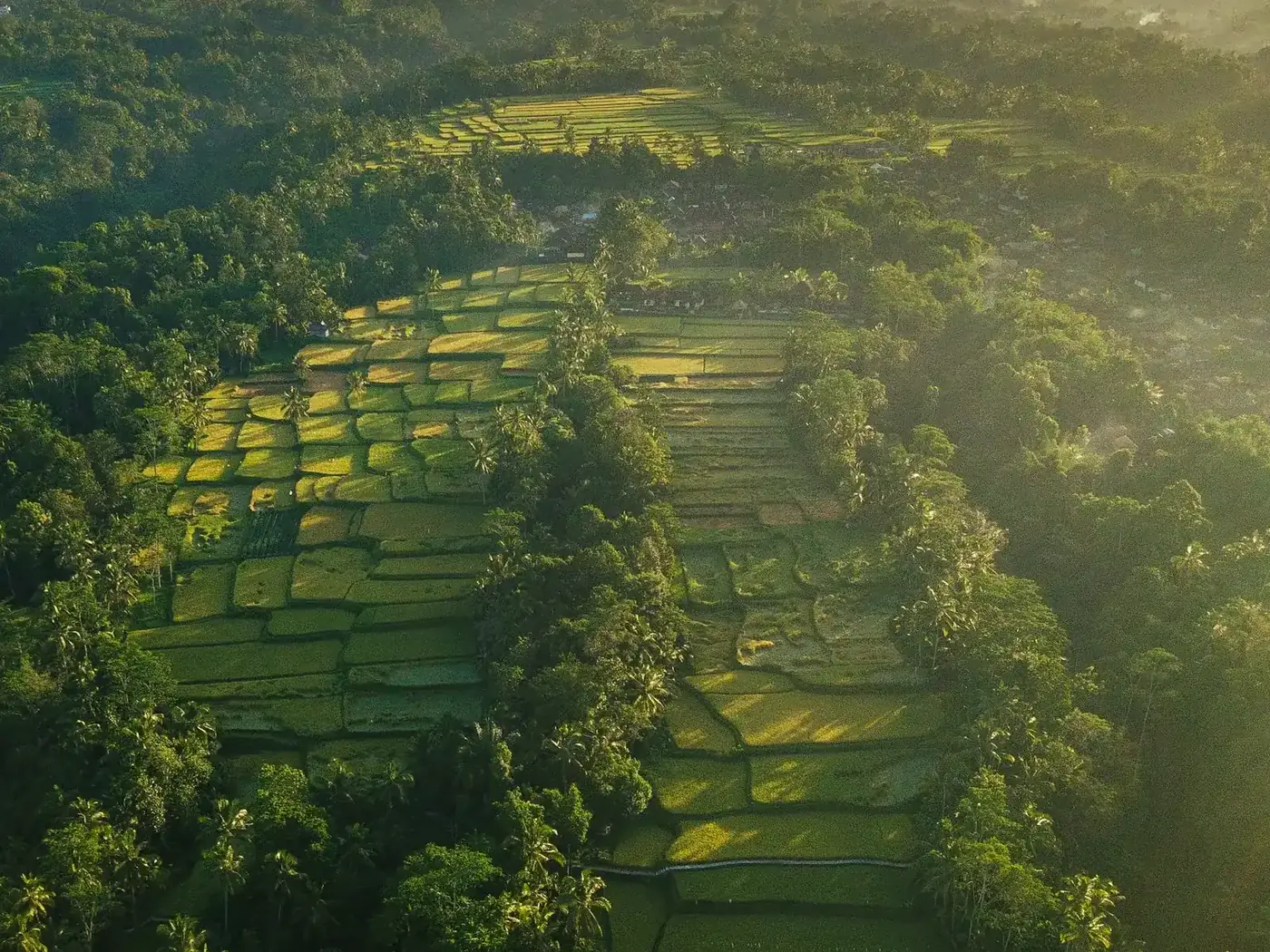
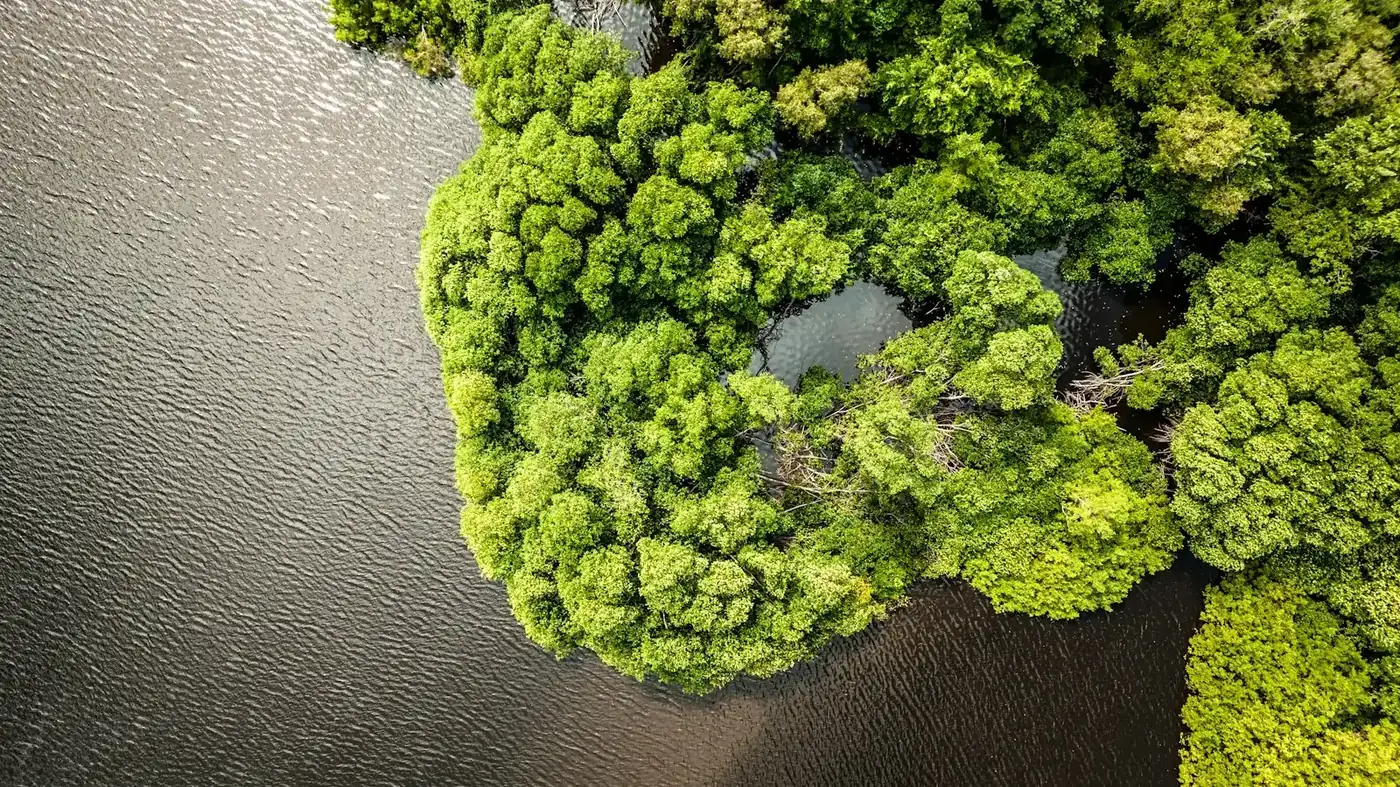
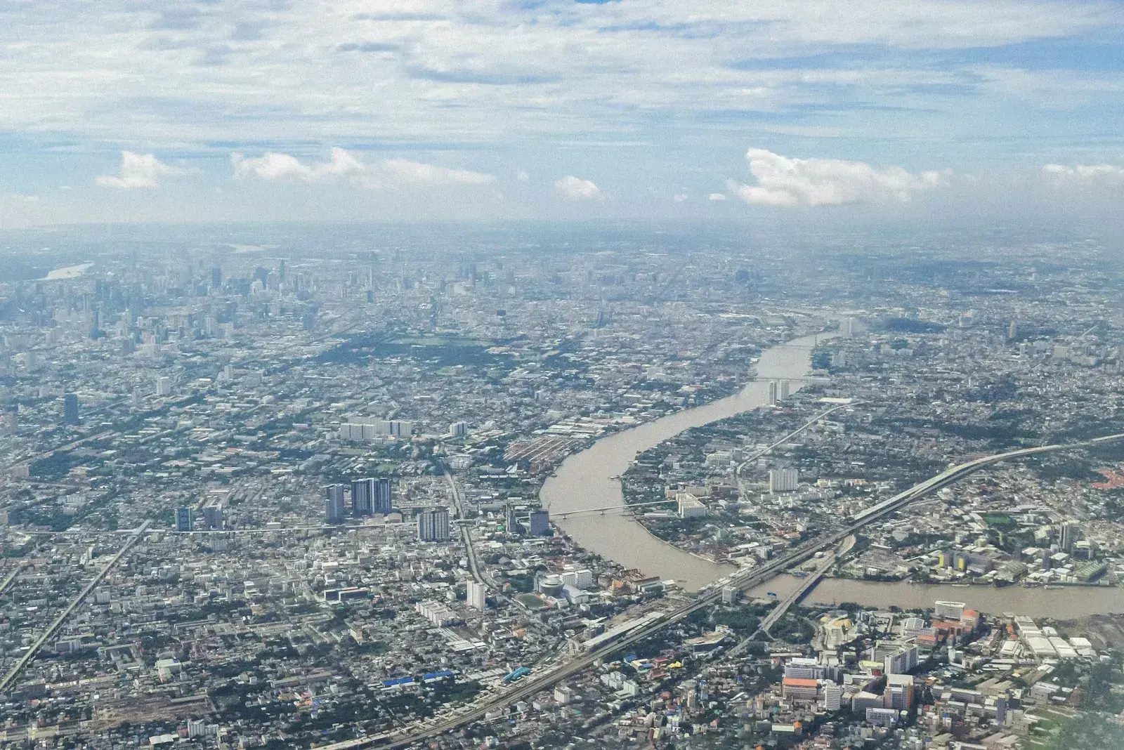
Based in Thailand. Built for the landscapes of Southeast Asia.
Monsoon climates, fast-changing land use and data gaps make this region distinctive. Our methods are designed around them.
- Government agenciesPlanning, environment, water and disaster risk
- Development partners & NGOsBaselines, monitoring and evaluation
- Research institutionsEarth-system modelling and joint research
- Private sectorAgriculture, infrastructure, ESG and climate risk
Our commitments
How we hold ourselves to account
Reproducible methods
Every result is documented so it can be checked, repeated and updated.
Honest uncertainty
We report accuracy and limitations alongside every finding.
Responsible data
Personal and community data are protected and used only with consent.
Local knowledge
We work with the people who know the ground best, and leave skills behind.
Let's work together.
Bring geospatial insight into your next decision.
Photography: Unsplash contributors, used under the Unsplash License.